Full Property Description
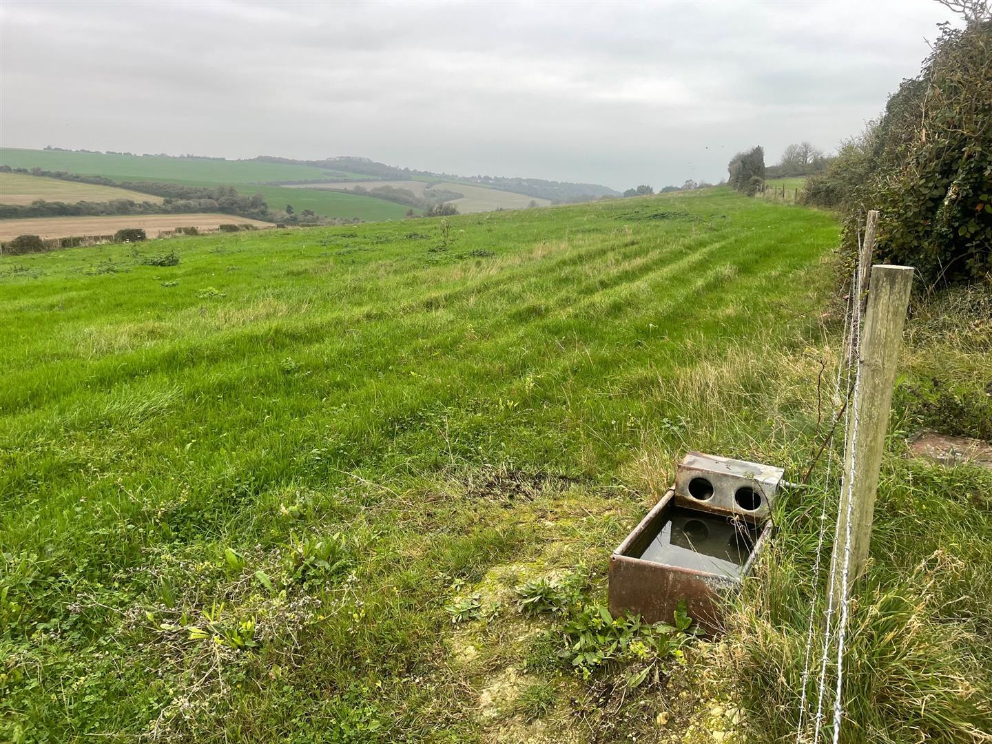
A single permanent grass field set in a rural location between the villages of St Margaret’s at Cliffe and Kingsdown near to the East Kent Coast
St Margaret’s at Cliffe under 1 mile, Kingsdown 1.5 miles.
Situation and Description
This sloping field lies in an elevated open rural position with commanding views and is bordered on the northern boundary by Kingsdown Golf Club and National Trust land to the east. To the west is Kingsdown Road. The land is shown as Grade 3 on the MAFF Land Classification Map and the soil is described as being shallow lime rich over chalk on the LandIS Soilscapes website.
The land is fenced and has a galvanised field gate at the southern end. Some boundaries also have hedges. There is a field water trough supplied from a water meter off-site.
Access is from Kingsdown Road (designated as a highway maintainable at public expense). In the village of St Margaret’s at Cliffe turn into Kingsdown Road and this leads directly to the land which is less than a mile distant. Kingsdown Road is also designated as a public bridleway and forms part of the Sandwich to Rye Cycle Path. The land cannot currently be accessed with vehicles from Kingsdown (Oldstairs Road).
What3words- ///abode.parkland.examples


